
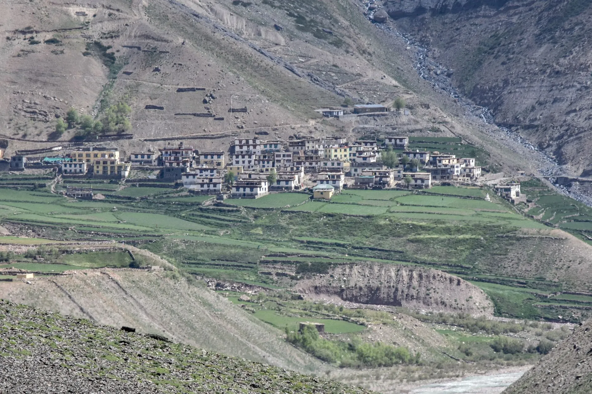
Pin Valley
Pin Valley is the side valley of the Pin river, south of Dhankar, and most of it is Pin Valley National Park, from about 3,500 m to over 6,000 m. The road ends at Mudh village, about 50 km from Kaza, where the long treks over to Kinnaur and Kullu begin.
Getting there
From Kaza, drive down the main road towards Tabo. Below Dhankar a road crosses the Spiti river and follows the Pin river south, through a string of villages, to Mudh at the end of the road: about 50 km in all. From Spiti Villa allow about 60 km.
The valley
Pin is greener than the main Spiti valley, with willows and fields along the river and steep, striped mountains above. Most of it is Pin Valley National Park, which climbs from about 3,500 m to more than 6,000 m and reaches across into the Bhaba valley of Kinnaur. It is part of the Cold Desert Biosphere Reserve.
Mudh is the last village. It has homestays, and it is where the long treks over the passes to Kinnaur and to Kullu start and finish. Those are serious, multi-day crossings that need a guide.
Good to know
- Phone signal is patchy and often absent up the valley. Tell someone your plans.
- There is no fuel beyond Kaza.
- A day trip from Kaza is possible, but a night in Mudh is the way to see the valley.
Best months for Pin Valley
Saffron: the easiest months. Best time to visit Spiti · Is Spiti open now?
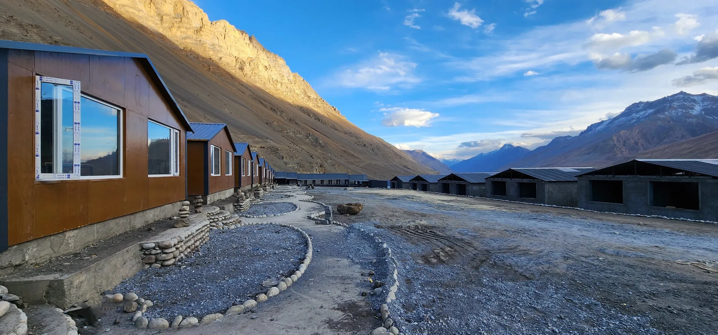
From our door
Spiti Villa is on Kibber Village Road, just below Key Monastery and 12 km from Kaza: 32 rooms, a glass-walled restaurant, and oxygen on site if the altitude catches up with you. Open all year.
Nearby
Quick answers
How far is Pin Valley from Kaza?
About 50 km to Mudh, the last village on the road. The road turns off the main Kaza–Tabo road below Dhankar and follows the Pin river south.
Is Pin Valley a national park?
Yes. Pin Valley National Park covers the valley from about 3,500 m to more than 6,000 m, in Lahaul and Spiti and the Bhaba valley of Kinnaur, and is part of the Cold Desert Biosphere Reserve.
Sources
- Pin Valley National Park, Wikipedia
- Mudh village, Pin Valley (photo and description), Timothy A. Gonsalves, Wikimedia Commons
- Road distances from OpenStreetMap, routed with OSRM, checked 14 November 2026
